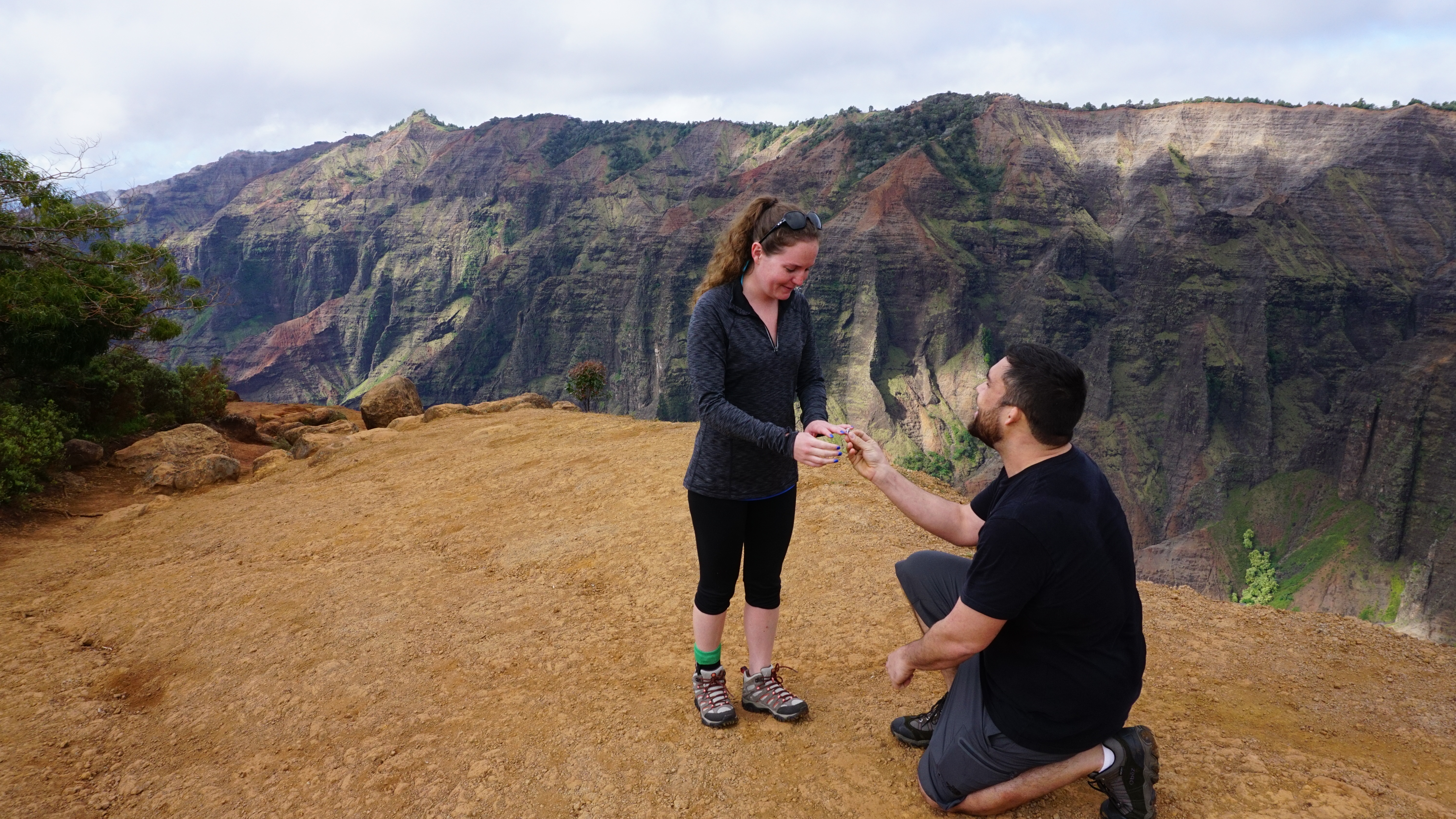
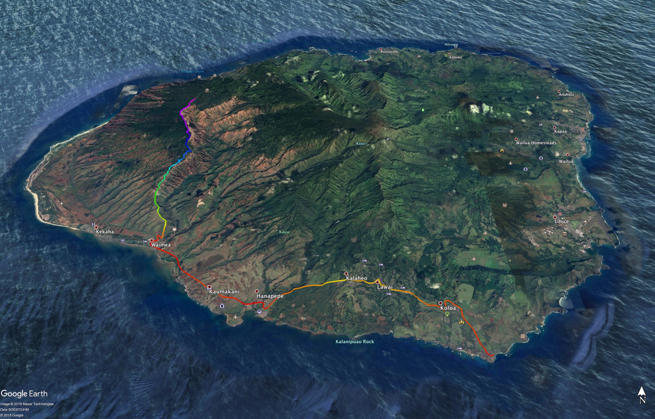
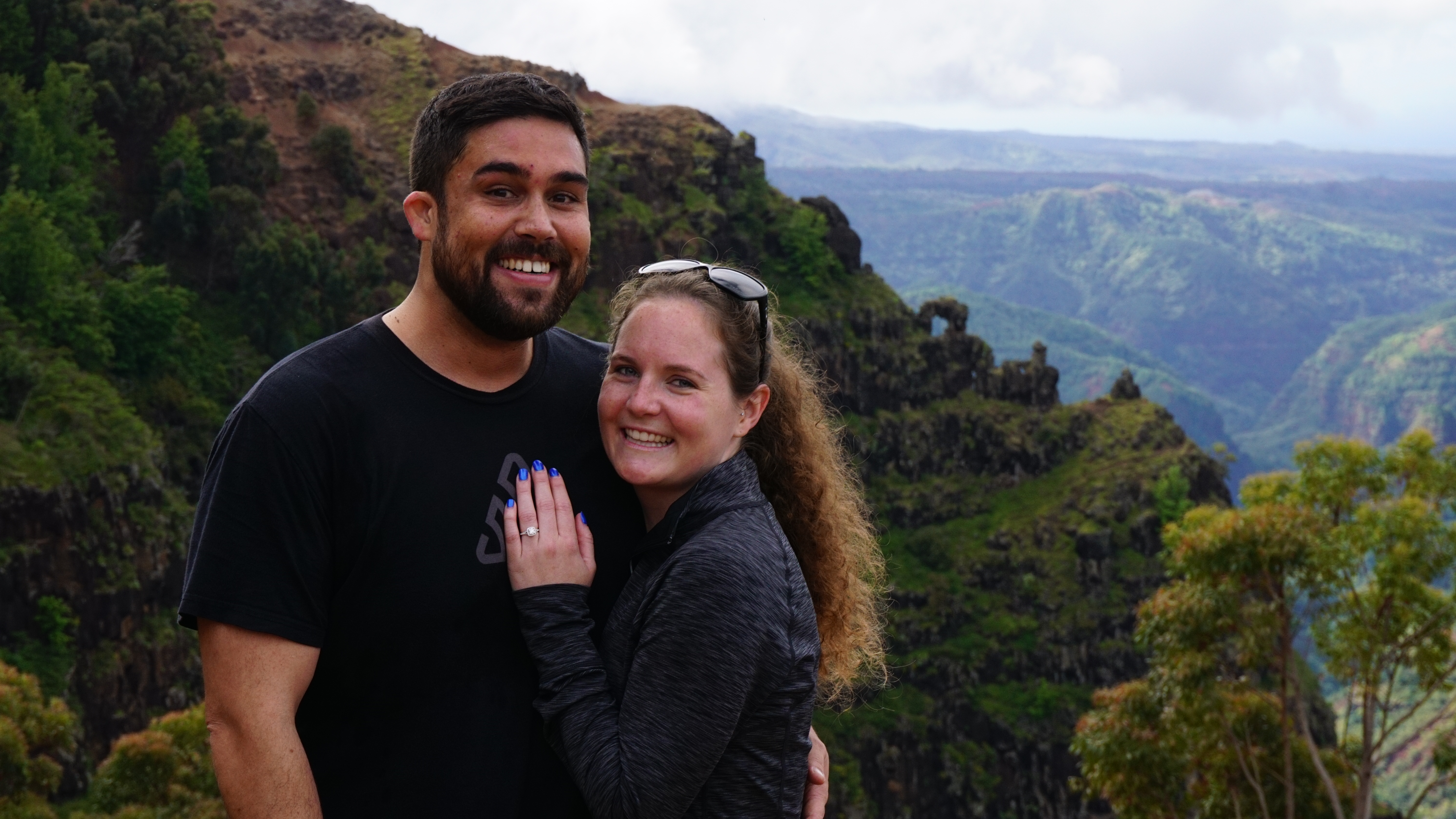
I proposed to my wife in Kauai at the Waimea Canyon Lookout. I couldn’t have picked a better spot. Actually, I did. When we did the hike I picked the first spot you see here. You can see in the Google Earth picture the more teal trace as it curve along the rim. These two pictures are of that first spot. The ‘real’ spot.
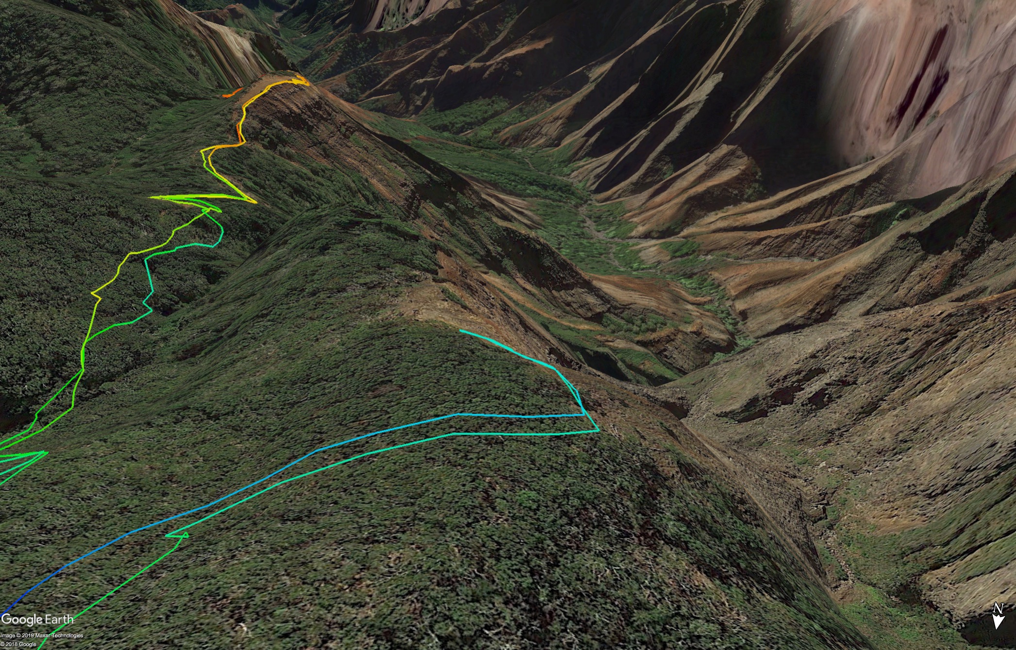
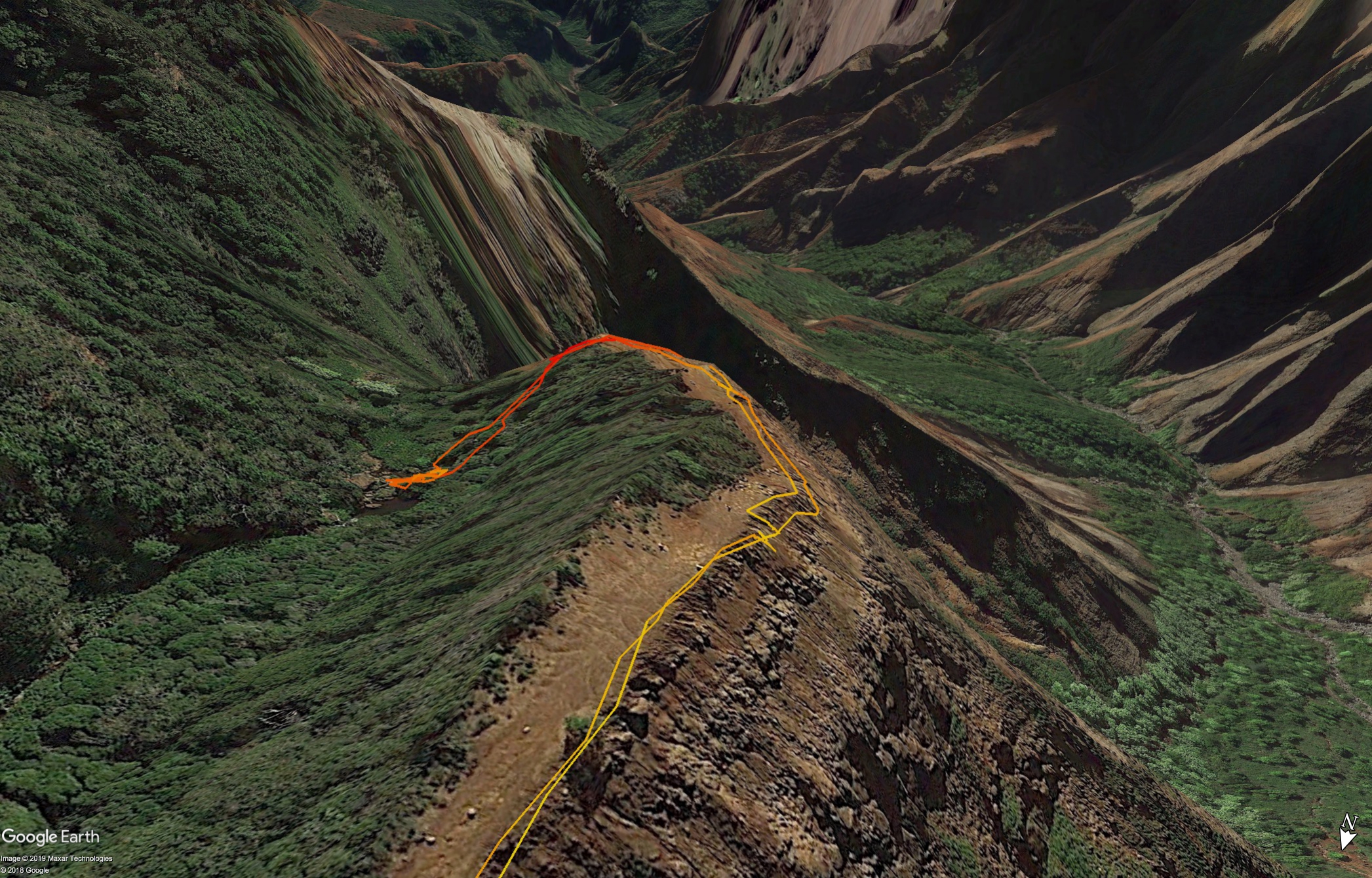
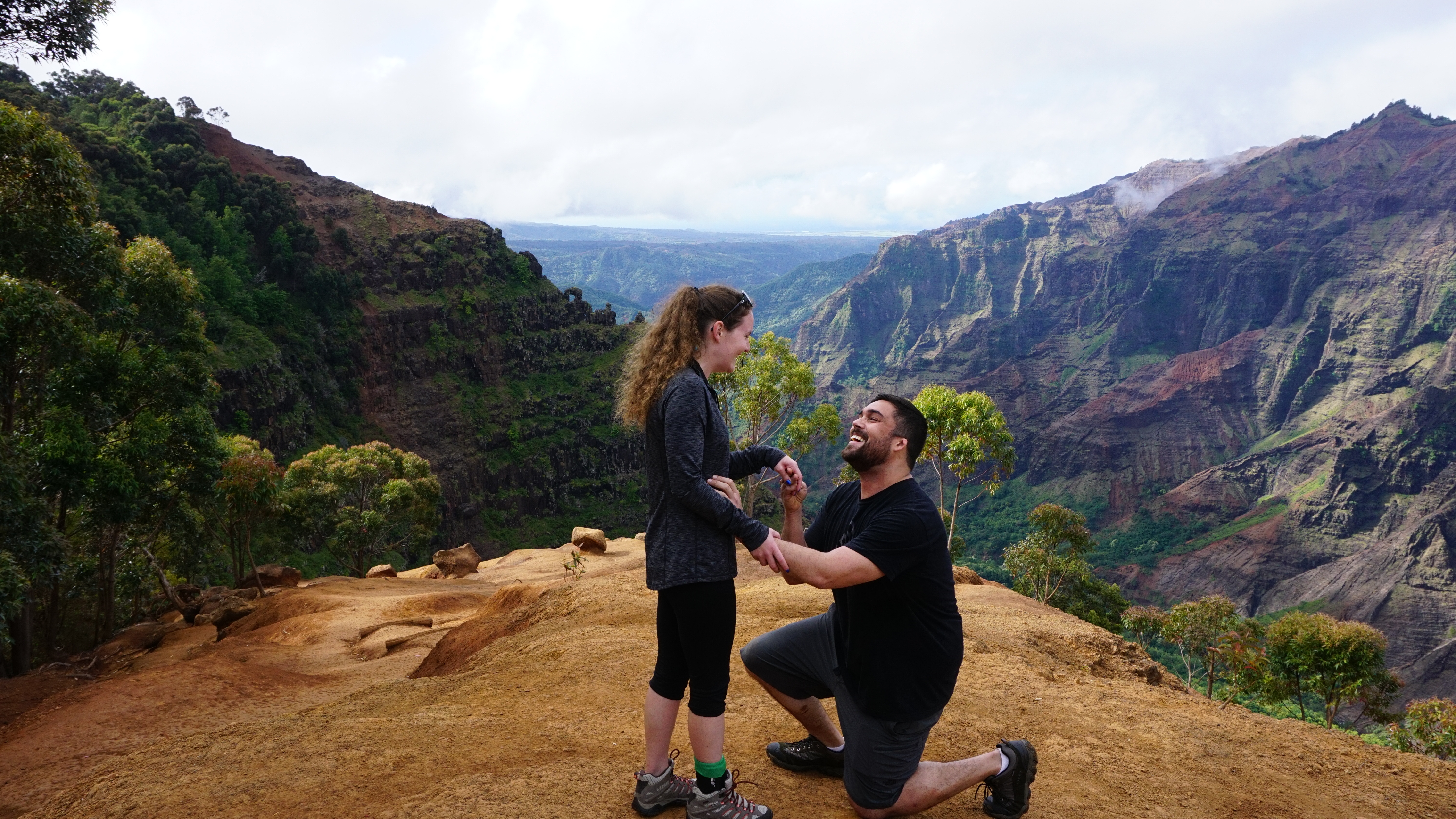
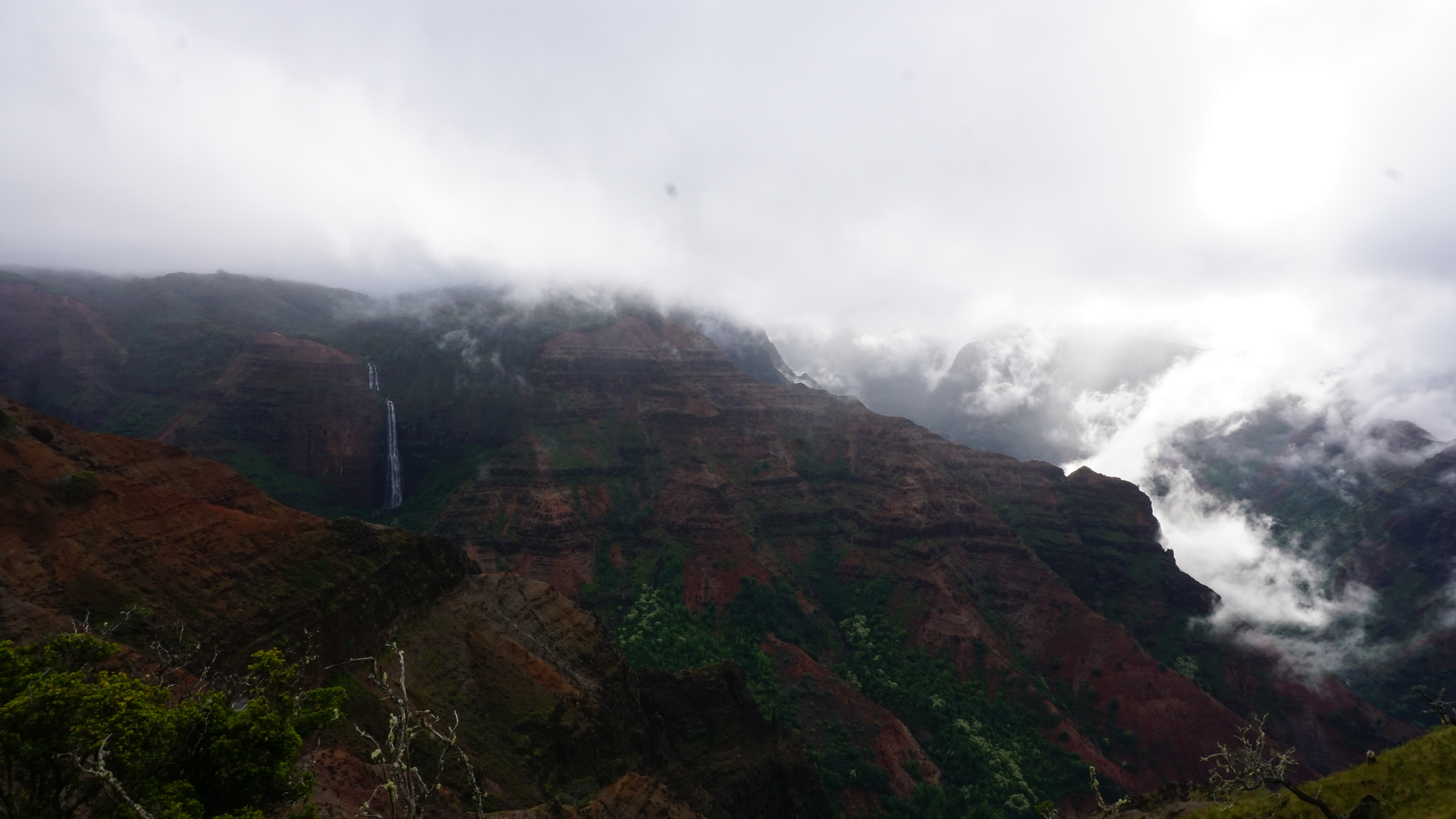
However, in the following two, you can see the ‘real real’ spot. This was infinitely more picturesque. So I decided to write history myself. This is where the pictures that made it on to cards and in to books come from. From the Google Earth picture, you can see how the whole valley is laid out for perfect pictures.
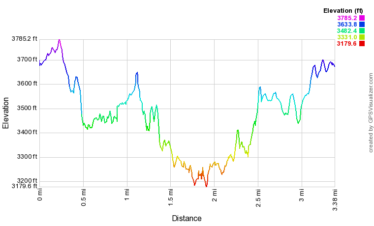
This is a capture of the total hike and the elevation profile. Nothing too strenuous but well worth it for the views.

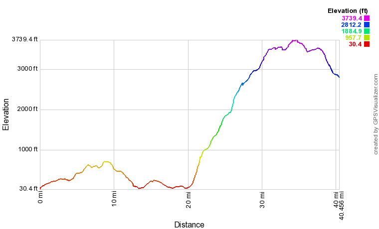
This is the whole drive and the corresponding elevation profile.
I separated out the hike and the drive, so these are definitely just corresponding to the drive.
I have to remember in the future to segment trips like these.
The GPX files are just XML and when you turn the unit off, it makes a new <trkseg>.
If I just turn the unit on and off when we do something different, I can segregate the trip in to track segments.
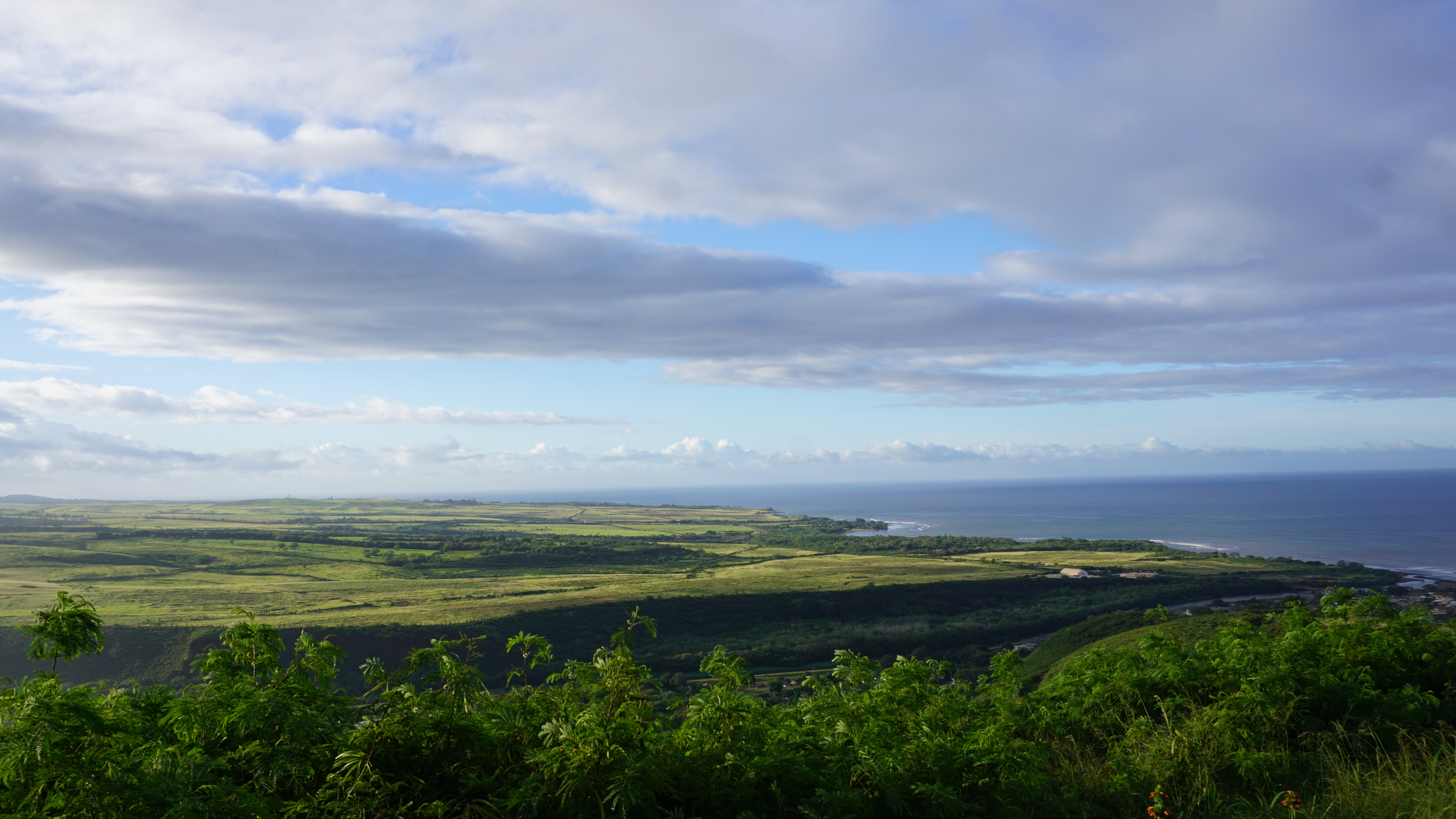
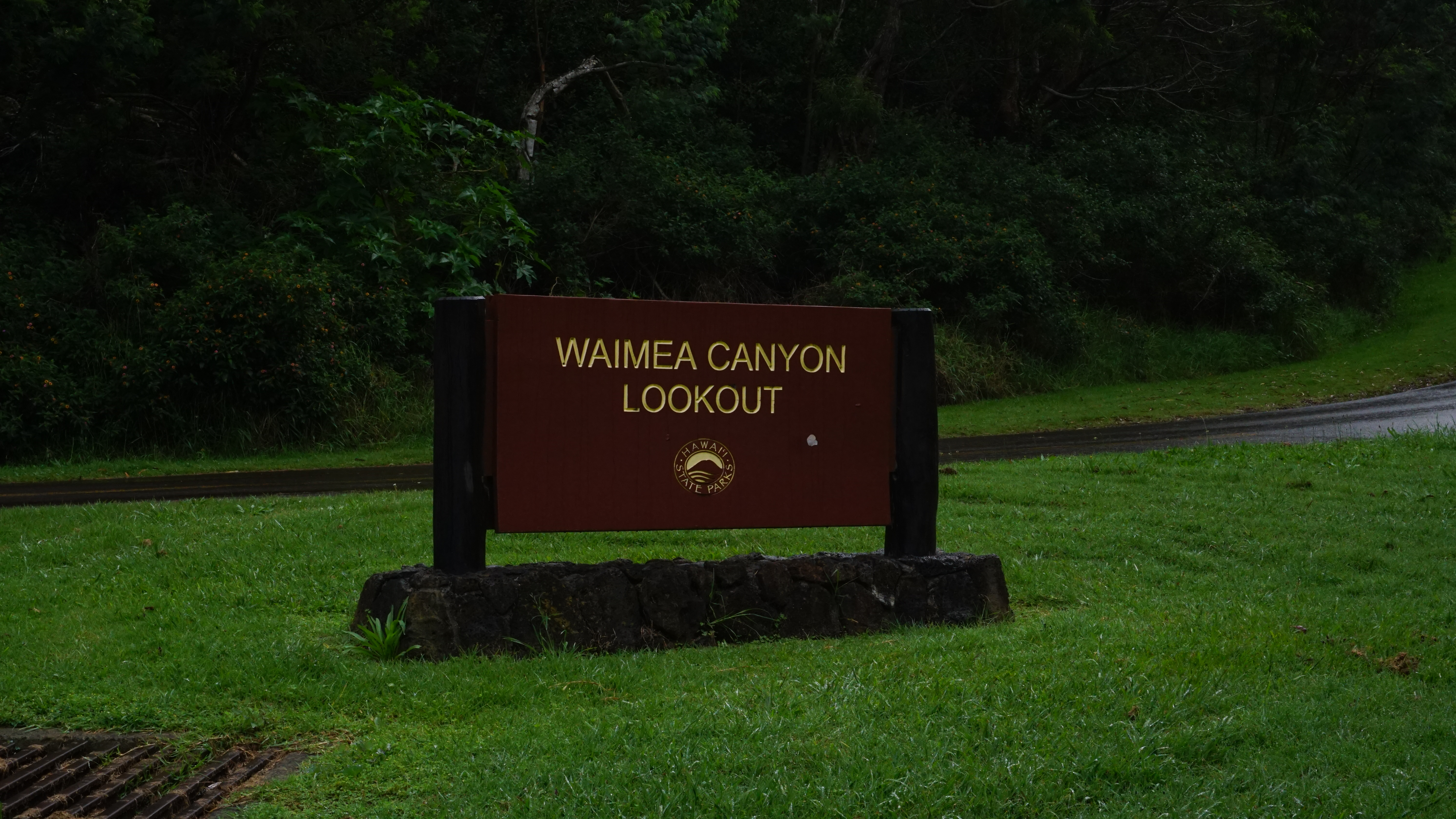
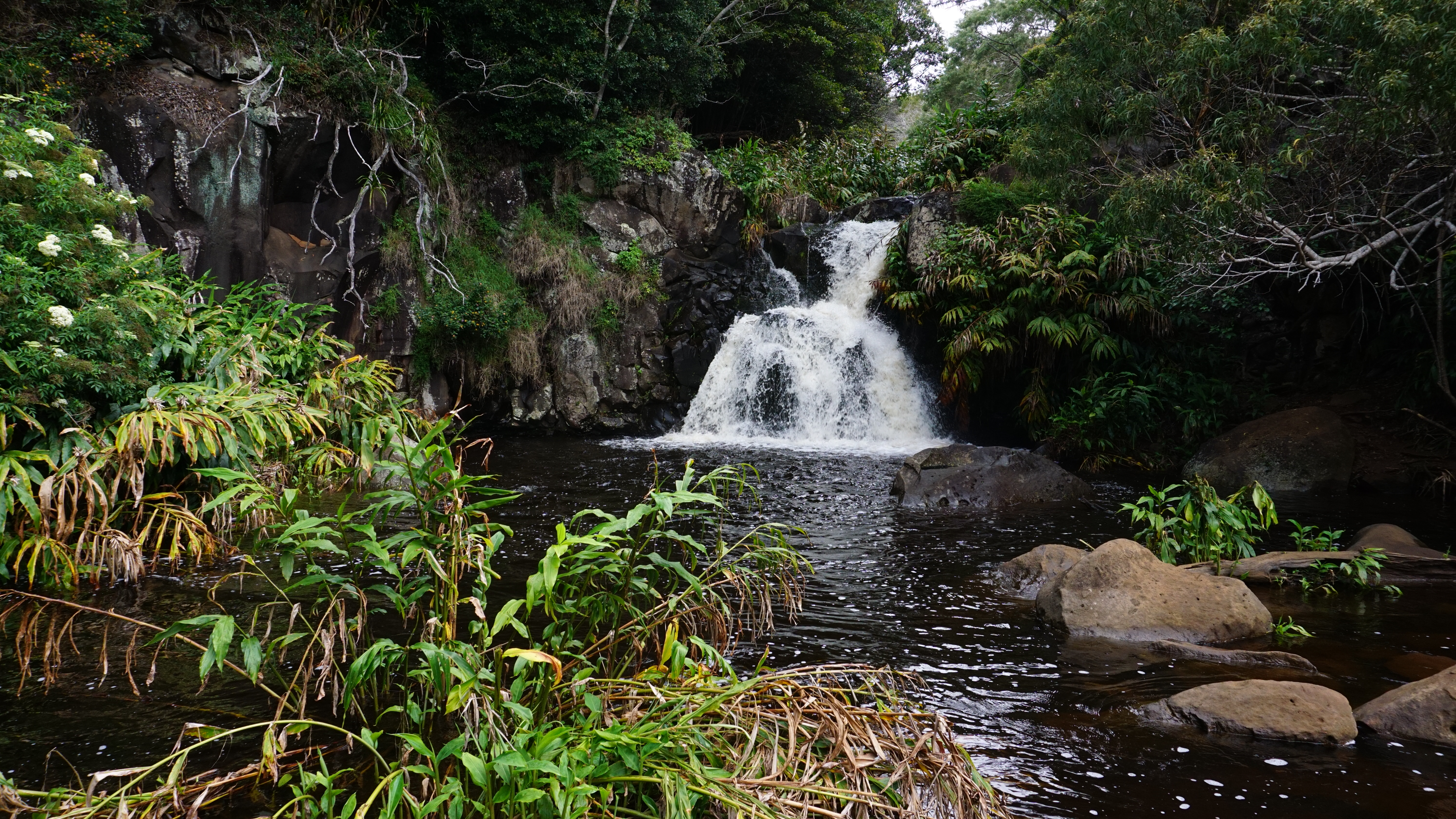
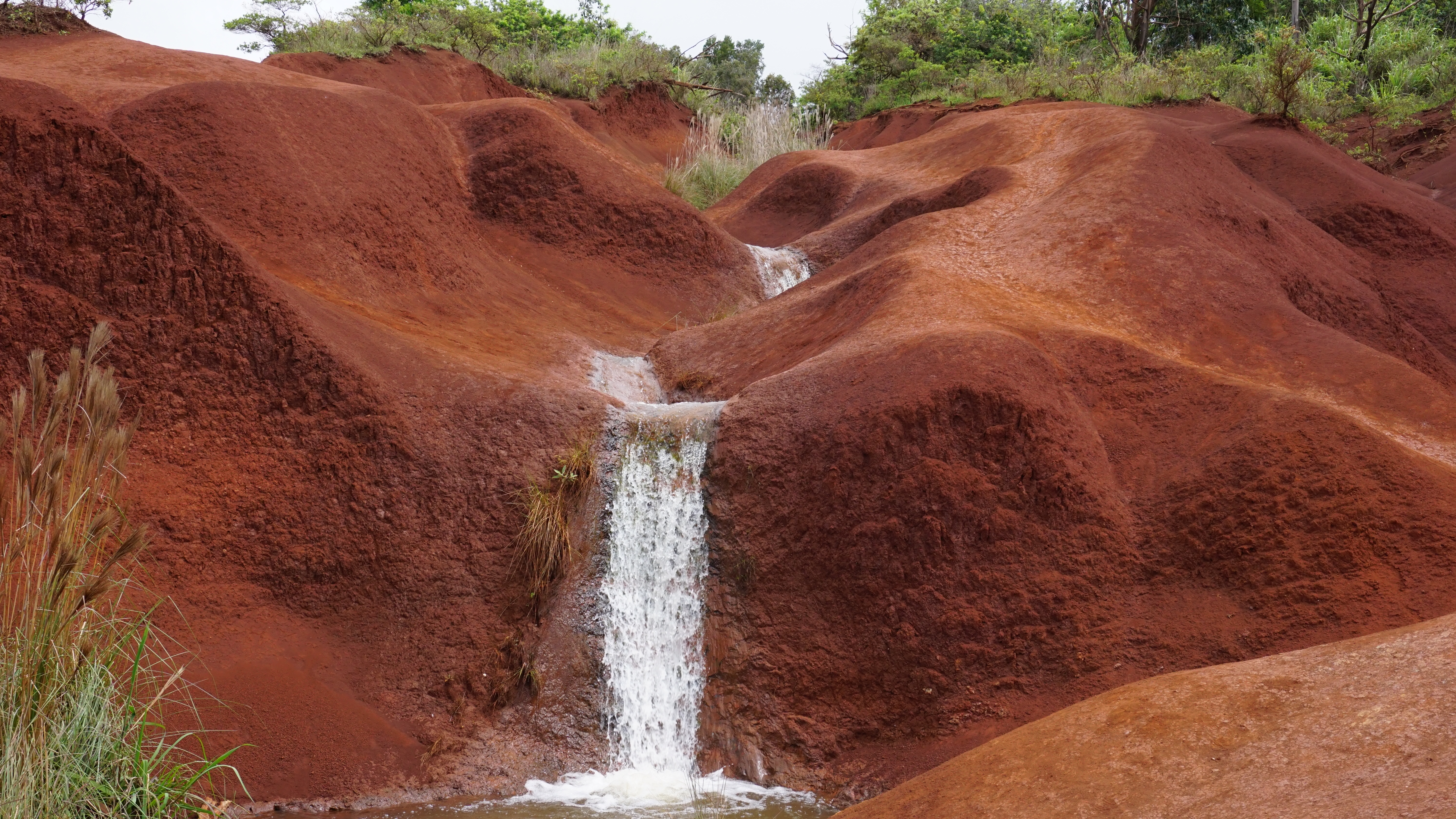
Here are some more traditional pictures of the day.

Description
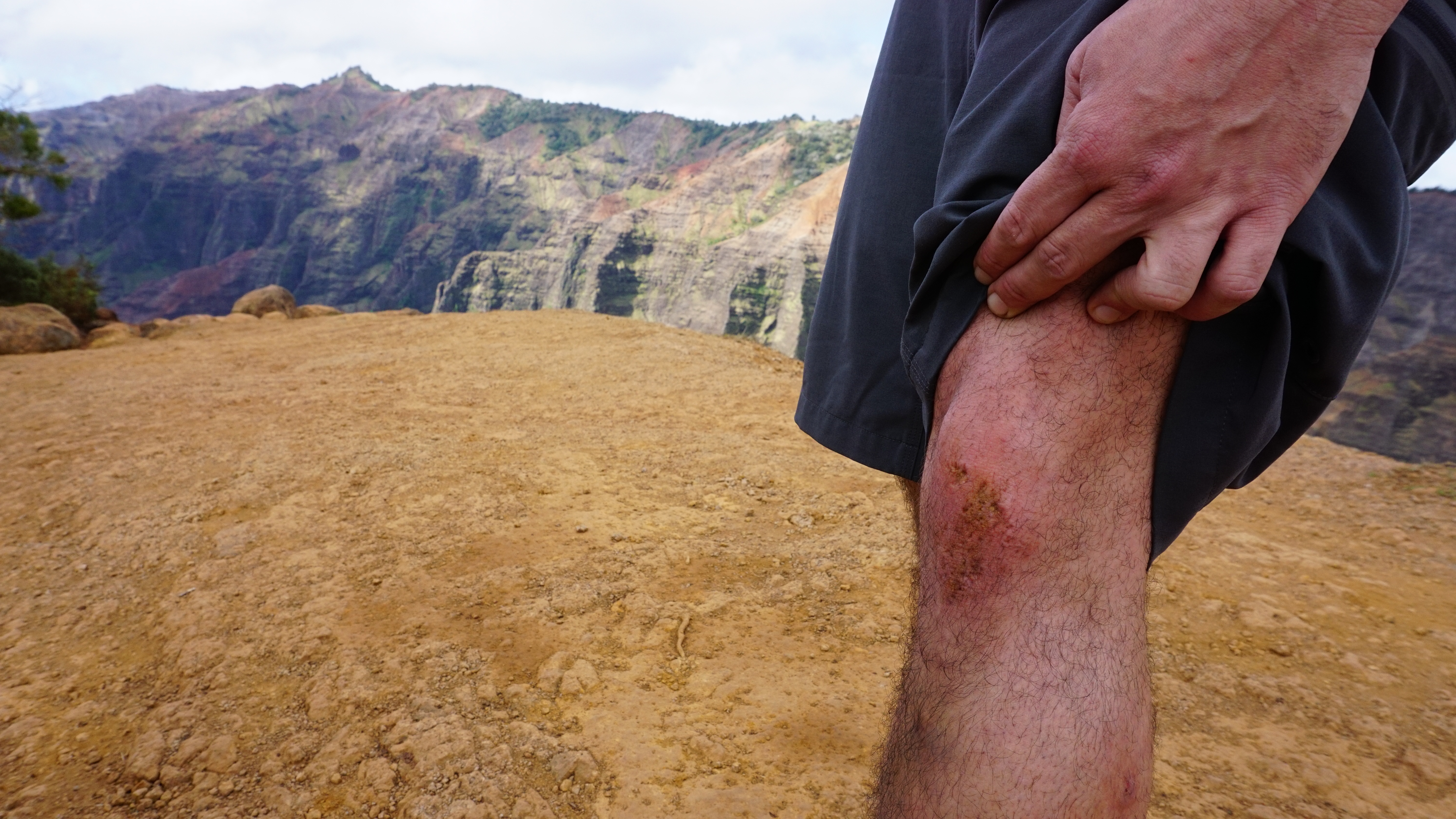
Pretty easy, nothing challenging like sliding or hands and knees. Good shoes are required, the trail can get muddy in some places. Awesome views and a pleasant drive. I highly recommend getting a Chevy Tahoe in Hawaii. It was just as cheap as an economy car on the mainland.
| Style | Elevation Change | Distance | Ease |
|---|---|---|---|
| Out and Back | 605.6 ft | 3.38 mi | Easy |